File:Ocadowany.png
No higher resolution available.
Ocadowany.png (620 × 416 pixels, file size: 16 KB, MIME type: image/png)
Image History
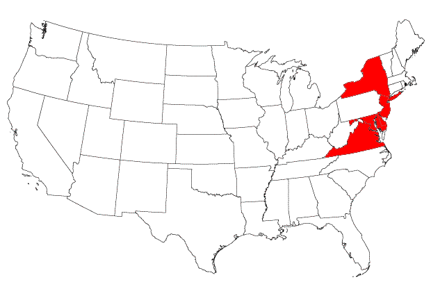
This is an edited version of a file originally created by Joe Rodgers, using a .png file from the Libre Map Project. Revisions were done using Adobe Photoshop CS, and included highlighting Long Island NY, and removing the highlighting on Rhode Island.
| Permission is granted to copy, distribute and/or modify this image or document under the terms of the Attribution/Share-alike Creative Commons License, Version 2.5 or any later version published; with no Invariant Sections, no Front-Cover Texts, and no Back-Cover Texts. Subject to disclaimers. |
File history
Click on a date/time to view the file as it appeared at that time.
| Date/Time | Thumbnail | Dimensions | User | Comment | |
|---|---|---|---|---|---|
| current | 21:58, April 2, 2006 | | 620 × 416 (16 KB) | Nilus (talk | contribs) | {{cc by-sa}} This is an edited version of a file originally created by Joe Rodgers, using a PNG file [http://libre.redjar.org/maps/data/boundary/united_states/contig_us_utm_zone_14_600px.png] from the Libre Map Project [http://libre.redjar.org/maps/data/b |
| 07:33, November 30, 2005 |  | 620 × 384 (27 KB) | Joe Rodgers (talk | contribs) | ||
| 01:15, November 30, 2005 |  | 620 × 386 (27 KB) | Joe Rodgers (talk | contribs) | {{cc by-sa}} Created from a [http://libre.redjar.org/maps/data/boundary/united_states/contig_us_utm_zone_14_600px.png .png file] from the [http://libre.redjar.org/maps/data/boundary/ Libre Map Project]. The states were then colored in using Adobe PhotoDe |
- You cannot overwrite this file.
File usage
The following file is a duplicate of this file (more details):
- File:Ocadowany.png from a shared repository
The following page links to this file: